Ouachita River Crossings
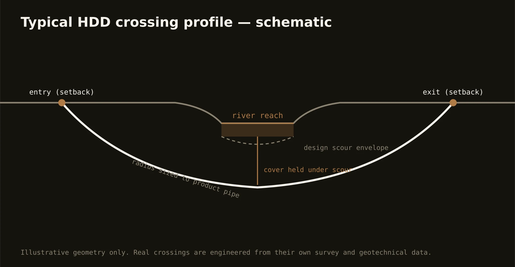
The Ouachita is the metro's centerline — a navigable river running lock-and-dam water between the twin cities, levee-lined through the Delta reaches, with the port working its bank — and crossing it is the signature Northeast Louisiana bore. These are engineered shots under managed water: entry and exit set back behind the levee lines, a profile holding cover beneath the navigation channel, and depth carried against scour in a river whose stages swing with the whole valley's weather.
The authority stack fits a working federal river: navigation and water-resource review on the channel, the levee district whose works line the Delta banks with engineering criteria of their own, state water-quality oversight, and the road or rail owner overhead. Our quotes map the stack for your actual reach and schedule to its honest clocks — high-water season included, because staging against a Delta levee respects the river's calendar.
The bayou country carries the doctrine outward at gentler scale: Bayou DeSiard threading Monroe's north side as the city's raw-water lifeline — crossed at source-water grade with the utility's interests named — Bayou Bartholomew's storied meanders through Morehouse, Black Bayou and the backland channels under the drainage machinery. Ground follows the banks: upland approaches west, deep Delta alluvium east, and geotech answers where the sag rides. Containment both banks, monitored returns, and the response plan written before the pilot turns — on every water, every time.